For runs, rides & hikes worth remembering
Turn your proudest mileskilometers into a poster.
The race you trained all winter for. The Sunday loop you know by heart. Drop in the file from your watch and get a print worth framing: your route and your numbers, drawn like a classic survey map.
MAKE MY POSTER → Free to preview. We never store your GPX file.
Export the file from Strava, Garmin, or wherever your mileskilometers live. Your poster appears in seconds.
Pick a colourway and a size. Add the surrounding terrain and streets, or keep the field empty. Show the stats you're proud of and hide the rest.
Download a print-ready file sized for standard frames. Take it to any print shop, or print it at home.
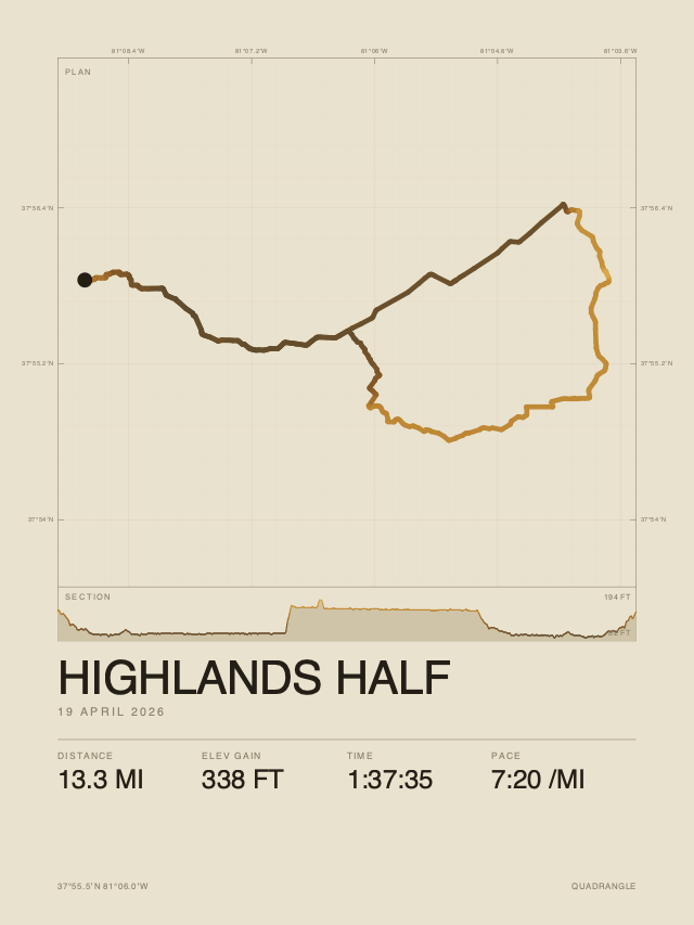
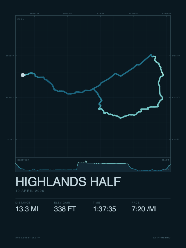
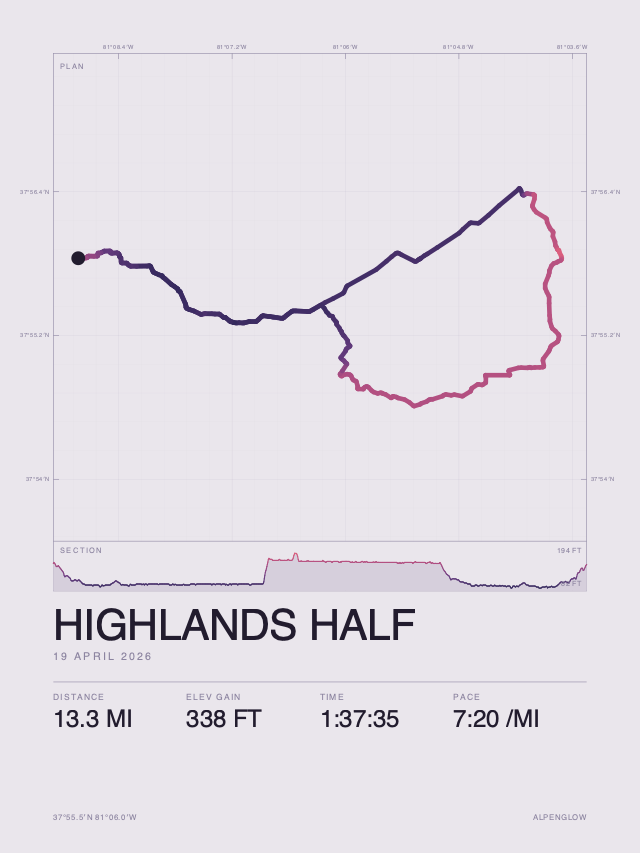
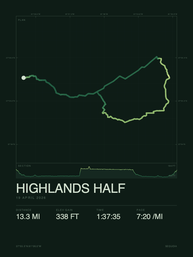
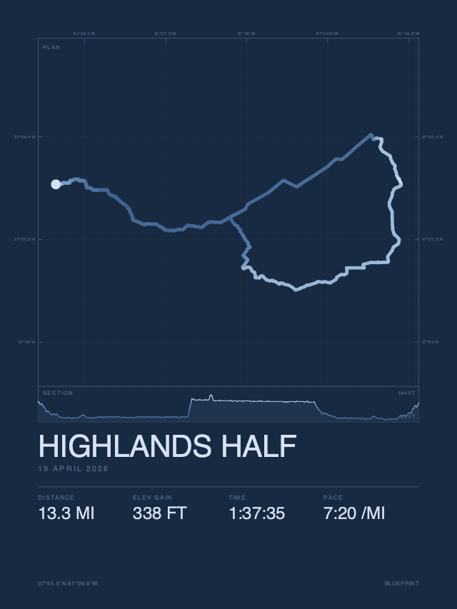
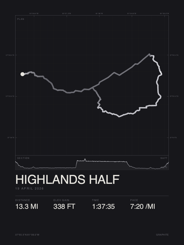
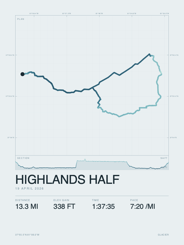
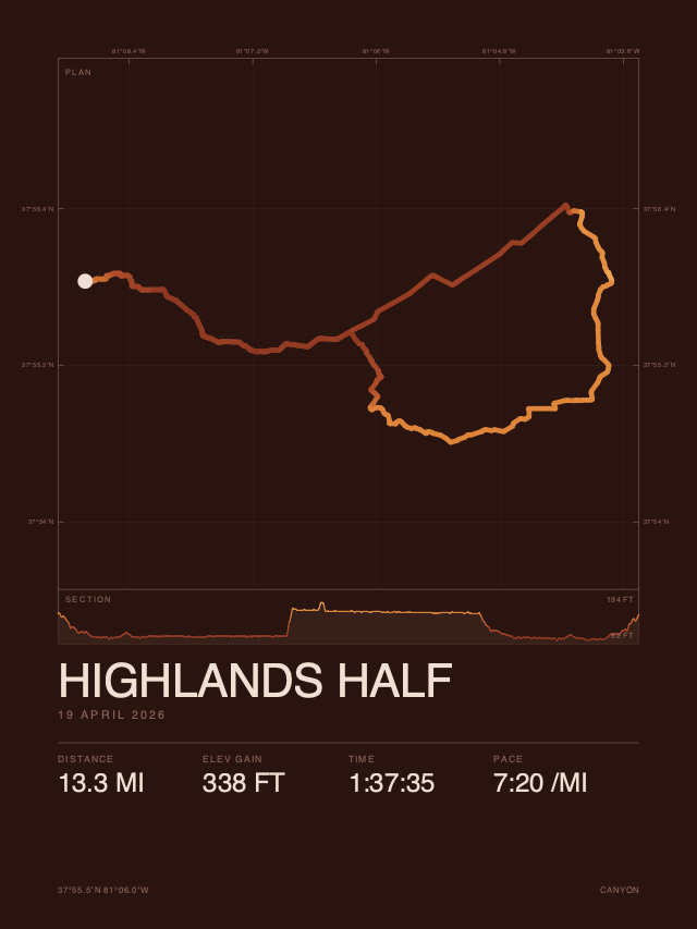
DESK 5×7 · 8×10 · 11×14 · A4 · WALL 12×18 · 18×24 · 24×36 · 50×70 CMDESK 13×18 · 20×25 · 28×36 · A4 · WALL 30×46 · 46×61 · 61×91 · 50×70 CM
The line changes colour with elevation, so the hill you suffered on is right there in the trace, and again in the elevation profile beneath it.
Add contour lines of the real terrain and the street network around your route, drawn quietly from official surveys and OpenStreetMap. Your line stays the hero.
Distance, climb, time, and pace, measured carefully and shown plainly. Show all of them or just the ones you like.
A route can reveal where you live, so we treat it that way. We never store your GPX file, and posters you haven't purchased delete themselves after 30 days, or the moment you ask.